
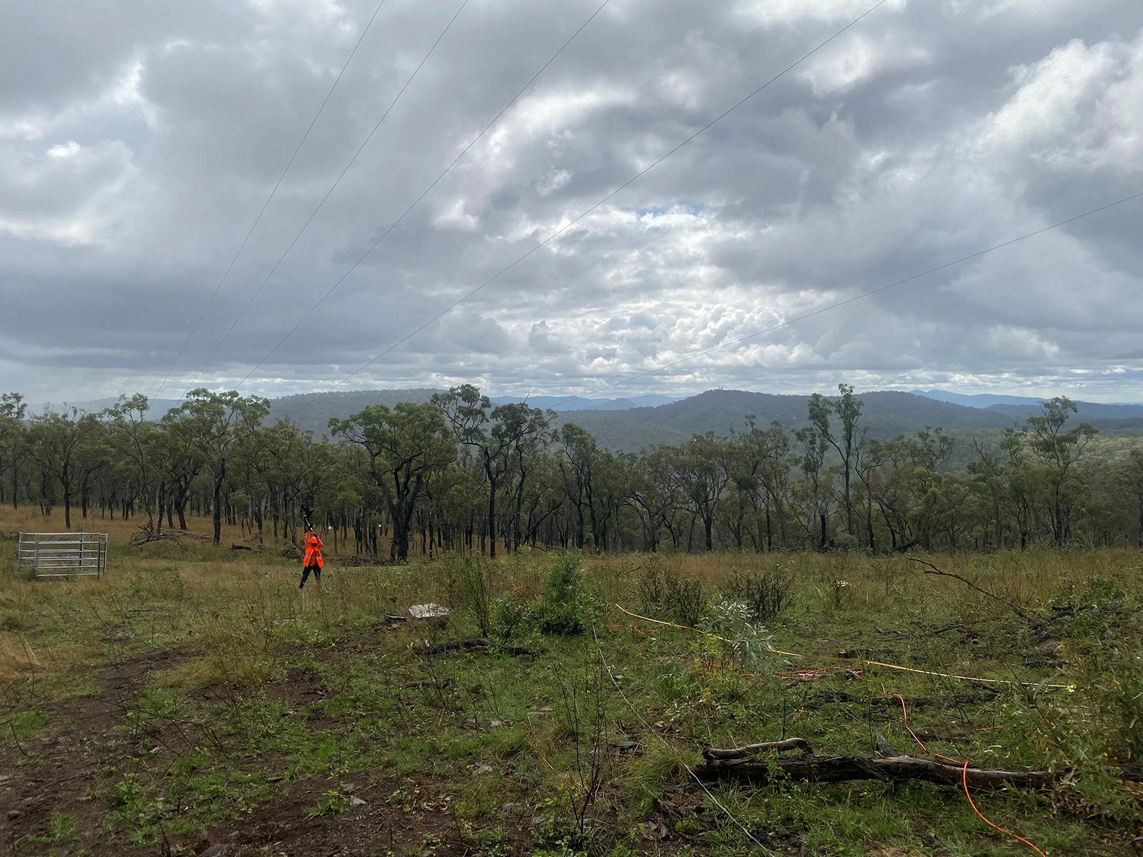
Geoscience insight beneath the surface
We combine advanced geophysical techniques with expert interpretation to provide accurate near-surface insights, reduce geological uncertainty and support better engineering, environmental and infrastructure decisions.
Our team
Who we are
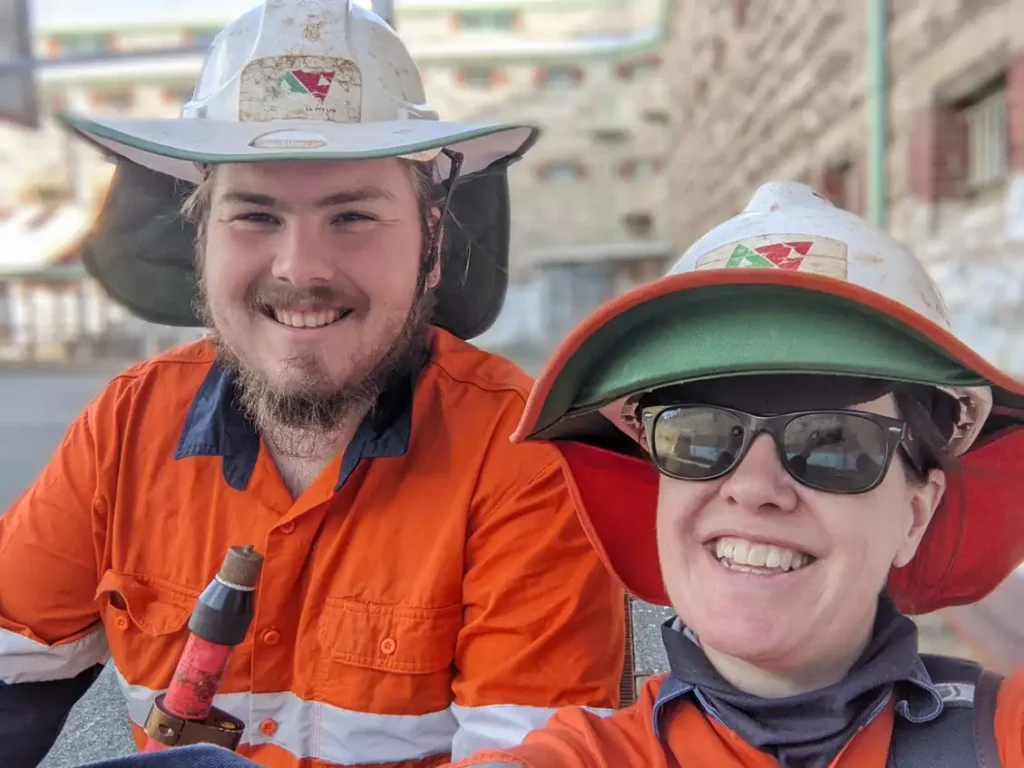
Draig Geoscience is a Perth-based, multi-disciplinary geoscience consultancy delivering specialist geophysical and geotechnical services across Australia and internationally. With expertise spanning engineering, environmental, groundwater, exploration and archaeological applications, our team provides tailored solutions for complex near-surface investigations.
We combine advanced geophysical surveying, data interpretation and 3D modelling to develop a clearer understanding of subsurface conditions and geological risks. With extensive international experience and a strong focus on technical quality and project support, Draig Geoscience helps clients make more informed decisions with greater confidence.
Our Services
Geophysical techniques
Draig Geoscience uses a broad range of geophysical techniques to investigate and characterise the near-surface environment, providing detailed insight into subsurface conditions without relying solely on invasive investigation methods.
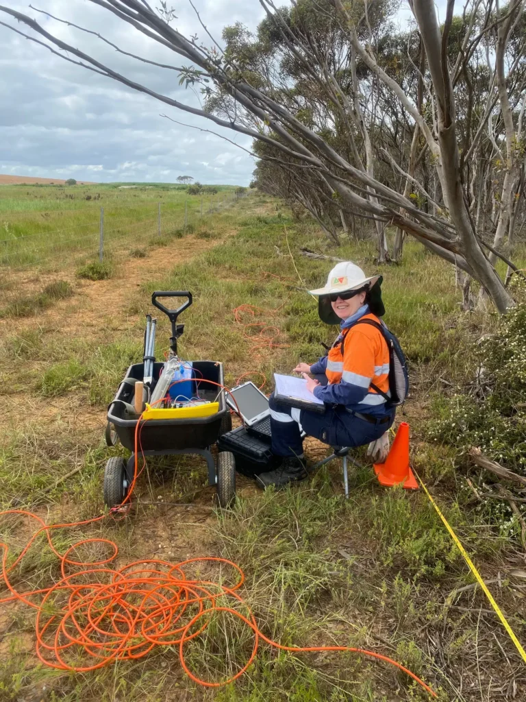
Electrical geophysical methods measure variations in the electrical properties of the subsurface to help identify changes in geology, groundwater and buried features. Draig Geoscience provides Electrical Resistivity Imaging (ERI), Induced Polarisation (IP) and soil resistivity testing for detailed subsurface investigations and geological interpretation.
Electromagnetic surveys provide a non-destructive way to investigate changes in subsurface electrical conductivity. Draig Geoscience uses Frequency-Domain EM (FDEM), Time-Domain EM (TDEM) and downhole conductivity logging to identify features such as clay, saline groundwater, contaminants and buried infrastructure.
Ground Penetrating Radar (GPR) provides fast, high-resolution imaging of shallow subsurface conditions and buried features. Draig Geoscience offers single-channel, multichannel (3D) and 4D time-lapse GPR solutions for applications including infrastructure investigations, void detection and subsurface mapping.
Seismic geophysics provides valuable information about subsurface geological structure, material stiffness and seismic velocity. Draig Geoscience offers seismic refraction, seismic reflection, downhole seismic testing and surface-wave methods (active and passive) to investigate geological boundaries, bedrock, foundation conditions and subsurface materials.
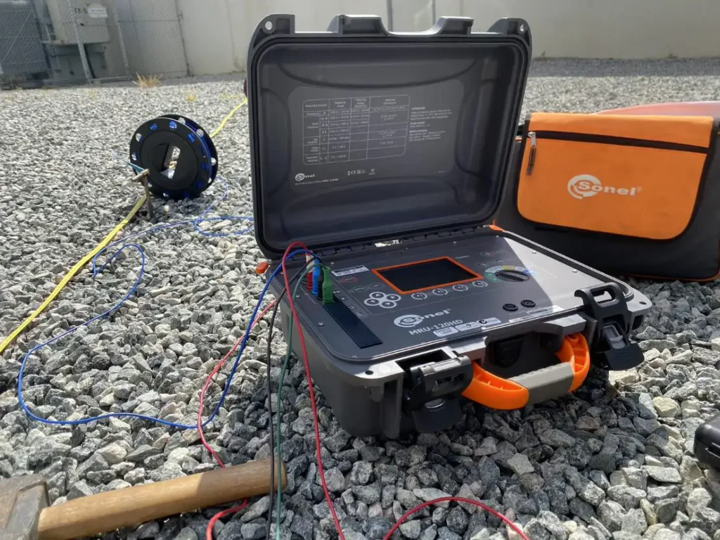
Soil and thermal resistivity testing provides essential information about how soil materials conduct electrical current and transfer heat. Draig Geoscience undertakes these tests to assess ground conditions and support the design and performance of electrical infrastructure, including underground power cables and earthing systems.
Potential field geophysics uses gravity and magnetic measurements to identify variations in subsurface density and magnetic properties. Draig Geoscience applies ground, marine and airborne magnetic surveys, gravity surveys and downhole magnetics to support mineral exploration, groundwater, geotechnical and archaeological investigations.
Our applications
Environmental monitoring
Provides environmental scientists with a high level of understanding of in-situ soil properties and variation in soil conditions.
Geotechnical studies
The surveys assist with providing detailed analysis of in-situ subsurface properties of the earth.
Groundwater mapping
Geophysical methods can identify subsurface geological structures and variations in groundwater conditions
Infrastructure assessment
Draig Geoscience can assist with identification and management of engineering hazards.
Latest publications
Explore the latest technical publications from Draig Geoscience, sharing research, insights and expertise across our specialist fields. Discover our contribution to the wider geoscience community and the advancement of scientific knowledge.
-
Time-lapse monitoring of internal alteration of a concrete structure using ground penetrating radar
-
Comparing prospectivity modelling results and past exploration data: A case study of porphyry Cu–Au mineral systems in the Macquarie Arc, Lachlan Fold Belt, New South Wales
Our clients
Affiliations
Partnerships

Companies we support

Find the right solution for your next geoscience project
Talk to our experienced consultants about your project requirements. We help you discover the right approach for understanding subsurface conditions.